Weather, soils, and water rules change by geography—so we organize coverage by state and sub-region with landing pages for local context, counties served, and how we tune programs. Explore your area below, or review our services and industries.
Statewide hub plus five regions—water management districts, aquifer stress, and subtropical scheduling.
Hub page: all districts, statewide compliance themes, and links to every Florida region.
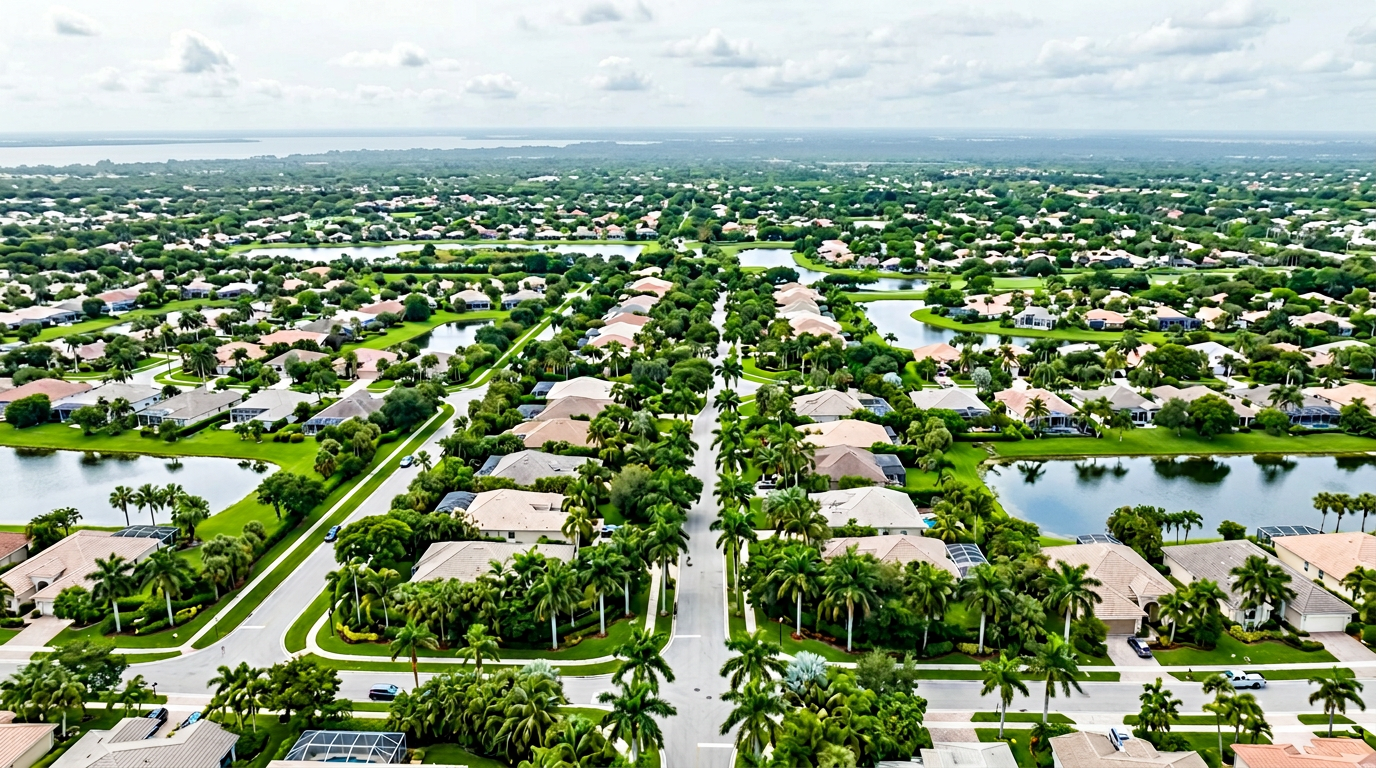
SWFWMD, Gulf Coast moisture patterns, and peak-season demand.
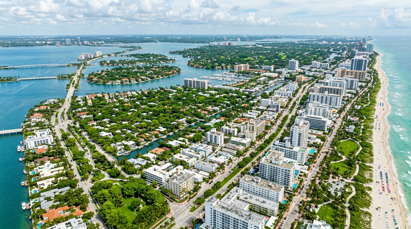
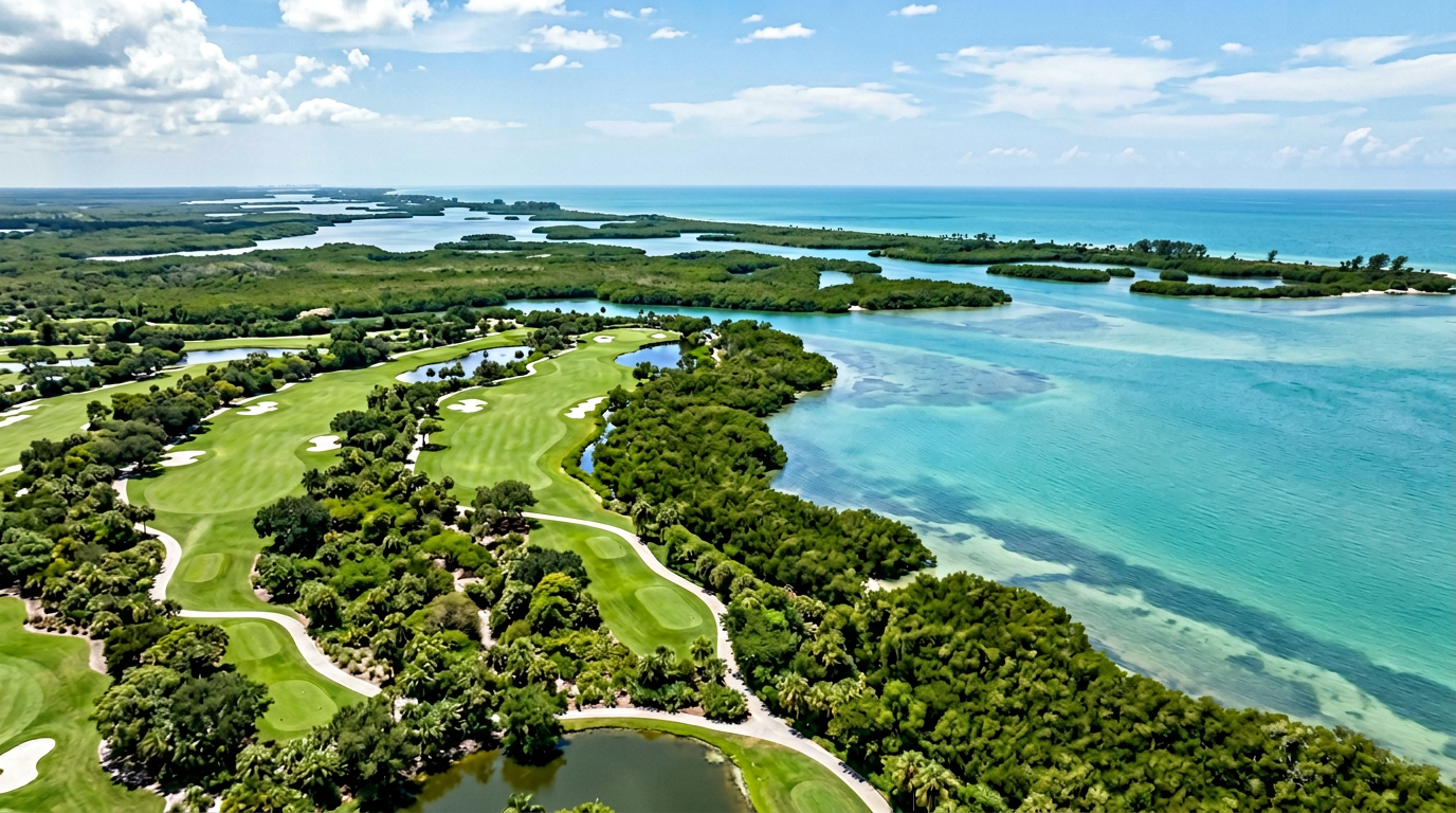
SFWMD, intense summer rainfall, and coastal irrigation realities.
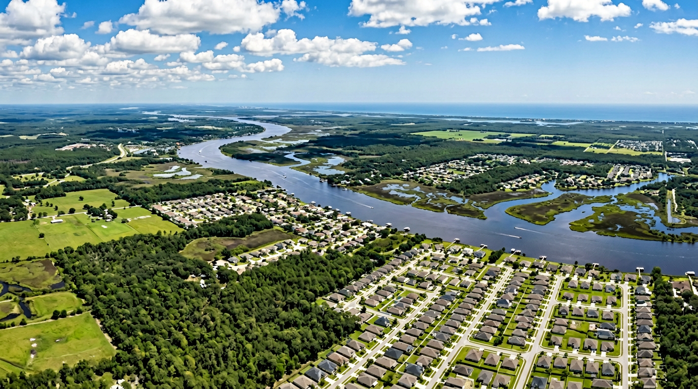
SJRWMD, Jacksonville–Daytona corridor, and district restriction cycles.
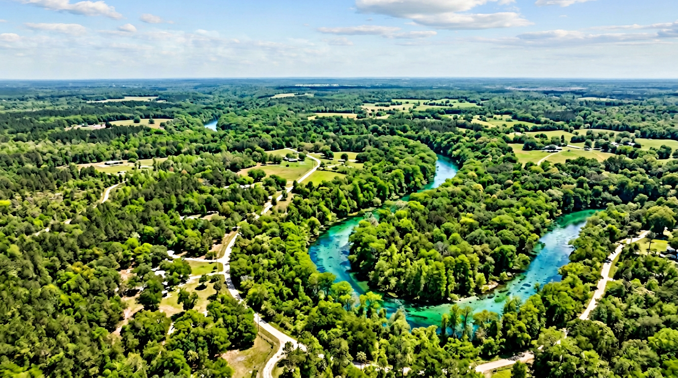
SRWMD, springs and river corridors, north–central scheduling.
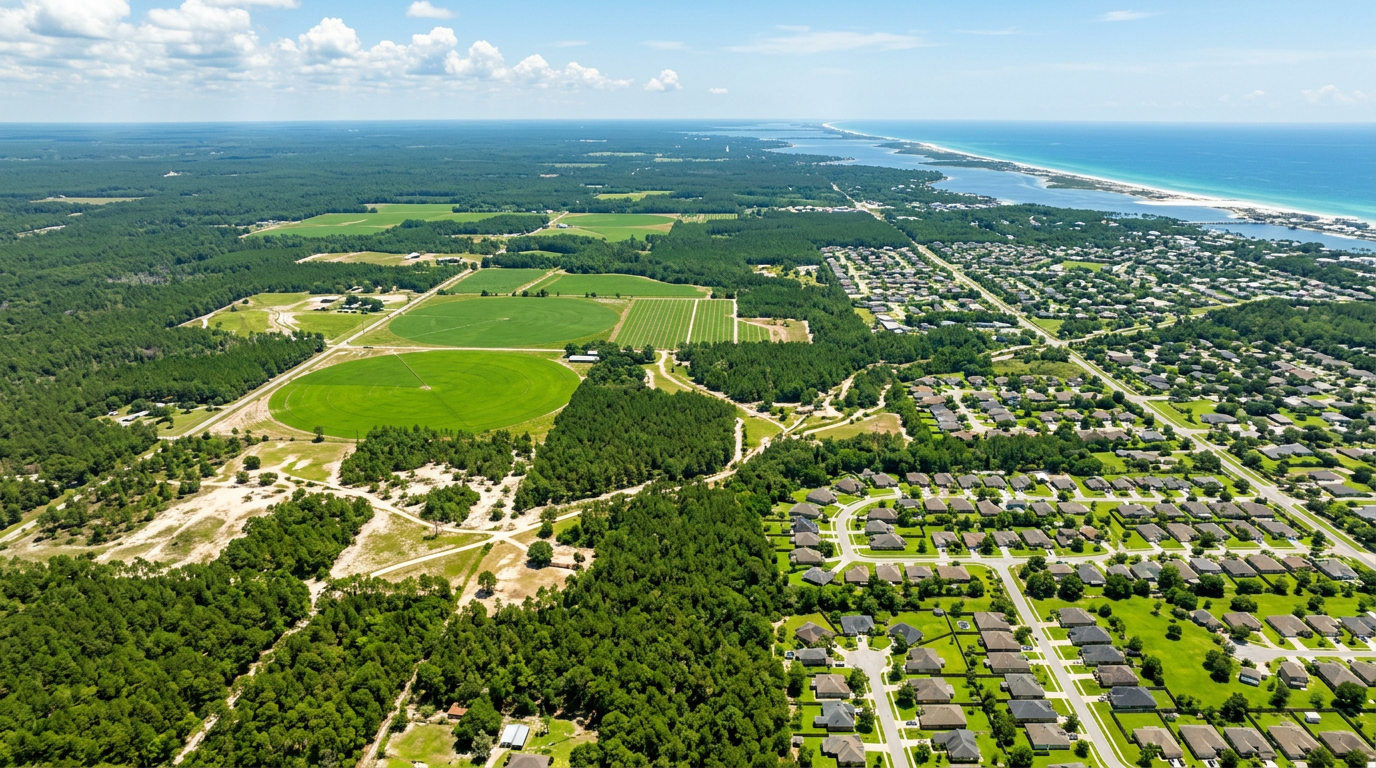
NWFWMD, Panhandle aquifers, and wet–dry seasonal swings.
West-side rain and dry-summer ET vs. high-plains and eastern basins—separate playbooks for each side of the Cascades.
Puget Sound to the coast: shoulder-season moisture, summer ET, and utility expectations.
High desert and river valleys: heat, wind, and disciplined peak programs.
Willamette Valley and west slope: wet winters, dry summers, urban density.
High plains and basin sites: aridity, wind, and irrigation efficiency.
Panhandle lakes to southern valleys—three regional pages for climate and county coverage.
Statewide hub plus Eastern, Northwest, and Southwest—freeze windows, ET swings, and mountain vs. plains microclimates.
Hub page: how we approach programs across the state and links to each region.
Flathead, Glacier country, Missoula-area: west-side moisture and valley ET.
Gallatin and Jefferson valleys, campuses, and high-elevation demand.
High plains and river corridors: wind, low humidity, peak-season discipline.
Remote management nationwide—if your portfolio spans states, we align schedules and reporting so each site follows regional rules and weather, not a single generic program.